|
|
Post by Coolkat on Apr 14, 2017 8:19:47 GMT -8
I'm looking for suggestions for a 3-4 day loop hike in PA probably not more than 3 or 3.5 hours from Pittsburgh area(just in case I can't get a shuttle for the NCT in the Allegheny National Forest).
|
|
|
|
Post by jmitch on Apr 15, 2017 6:52:35 GMT -8
Black Forest Trail, Chuck Keiper Trail, Allegheny Front Trail, part of the Quehanna Trail, Quehanna Wild Area is generally the most scenic with many side trails to make loops.
|
|
|
|
Post by Coolkat on Apr 16, 2017 5:54:37 GMT -8
Thanks jmitch! I'm gonna investigate these. Talus has suggested to me the Chuck Keiper Trail but I've read several places that it hasn't been maintained that well and trail is hard to follow. I'm wondering if anyone knows if this is still true. Some of those reports were a couple of years old. Has anyone here done this trail recently? Can you confirm or deny this? talus, how was it the last time you hiked this trail? I don't mind a little route finding but I really don't want my hike to be taken up with a lot of it. |
|
talus
Trail Wise!
Posts: 560 
|
Post by talus on Apr 16, 2017 13:48:04 GMT -8
Very easy to follow. There is some sidehill that is in bad shape, but other than that it is great. There is a TR from last October...
|
|
talus
Trail Wise!
Posts: 560
|
Post by talus on Apr 16, 2017 13:52:24 GMT -8
|
|
|
|
Post by jmitch on Apr 16, 2017 17:23:59 GMT -8
Coolkat, it has been years since I hiked the CKT but it is a rugged, isolated loop with many beautiful drainages. You should like it.
|
|
|
|
Post by Coolkat on Apr 27, 2017 4:55:36 GMT -8
Looks like I'm gonna have enough time to do the whole CKT. Anyone know what the current trail conditions are on the east loop? All the old trip reports online report poorly maintained trails to non-existent.
Does anyone know if doing this clockwise or counter-clockwise is easier or harder? I'm thinking about doing this clockwise and do the west side first giving me an option to bail on the center connector trail if need be. A few years ago I did a hike in the ANF on the NCT in the first part of June and I bailed on it because the temps were in the 90s which crazy humidity. Sucked all the fun out of the hike.
Oh yea...what about a good source for a map? Also, what about stream/river crossings without bridges?
|
|
|
|
Post by jmitch on Apr 28, 2017 8:00:07 GMT -8
|
|
|
|
Post by Coolkat on May 2, 2017 6:06:26 GMT -8
I just got an email from someone who hiked the CKT in March. Here is he said...
|
|
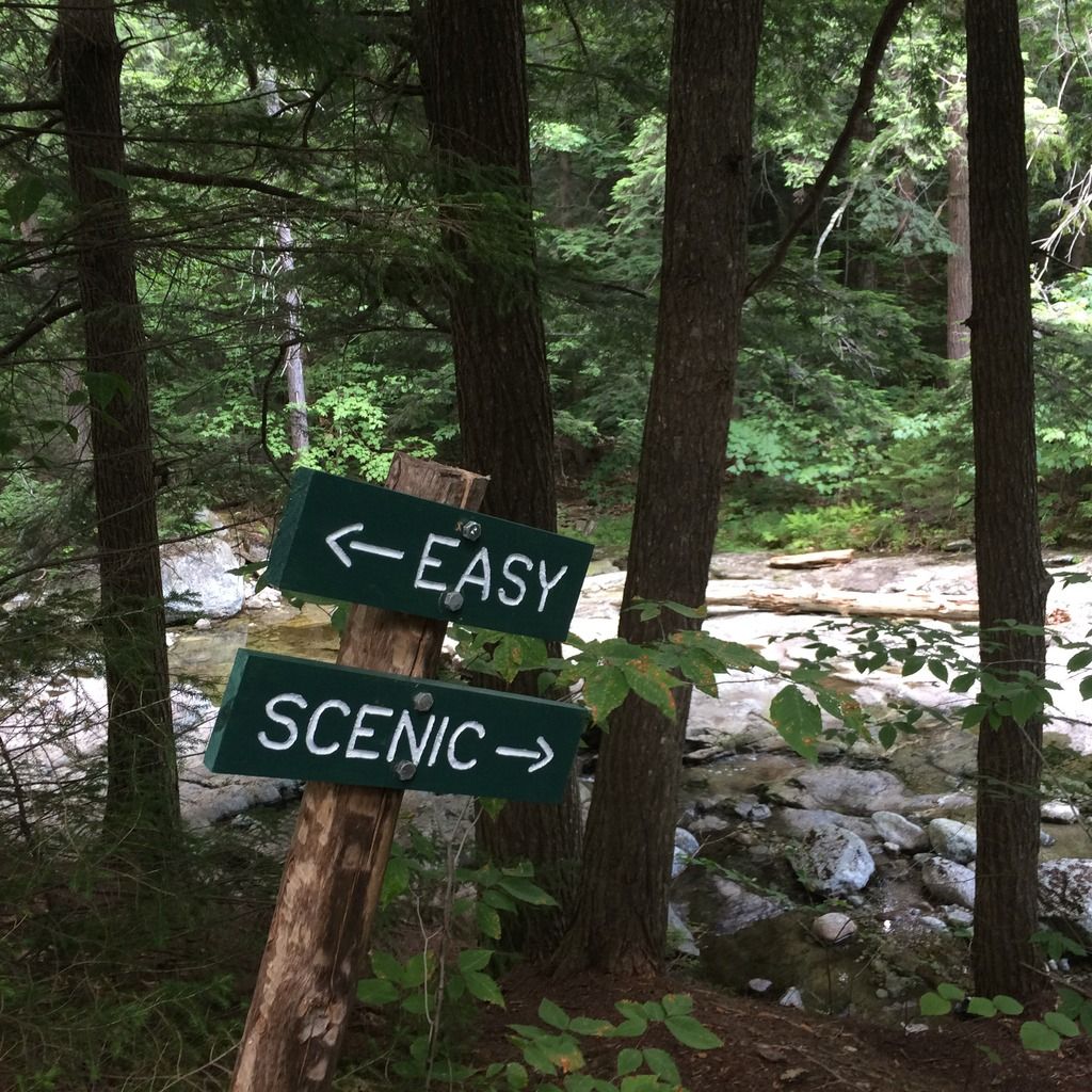
 Image Credit / Coolkat