

Post by GaliWalker on Jul 23, 2017 7:23:22 GMT -8
Located in western Pennsylvania's Gallitzin State Forest, the John P. Saylor Trail - created in honor of the noted Pennsylvania conservationist - comprises a double loop, on either side of Clear Shade Creek, a bit like a crooked figure eight. The northern loop is around 12mi, while the southern one is a little less than 6mi.
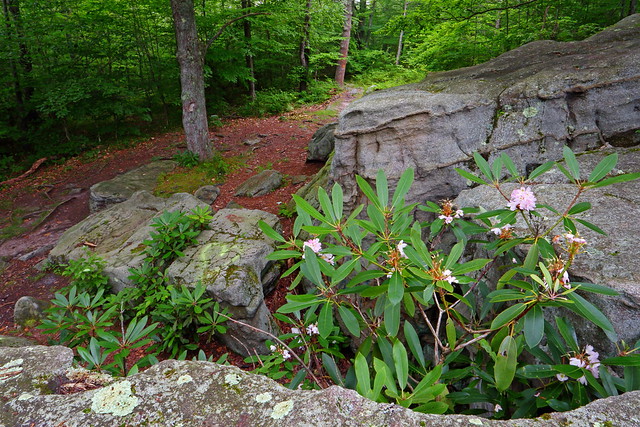
I left Pittsburgh around 3:30am and was on the trail, starting from the Babcock Picnic Area trailhead, by 5:45am. The entire trail is pretty flat, with only the occasional gentle climb, so the going was quick. I had begun the northern loop hiking counterclockwise, which meant that the impressive Wolf Rocks were my first port of call. Unfortunately, ugly graffiti covered almost every inch of the outcrop.
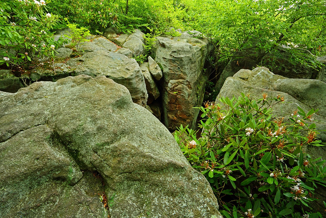
Wolf Rocks
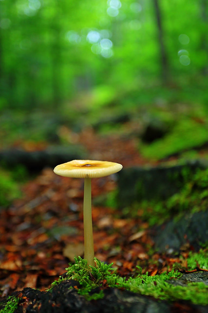
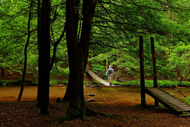
A flower and mushroom show in full swing, and interesting little bogs were my entertainment, as I continued on to the suspension bridge over placid Clear Shade Creek. I bounced my way across to connect with the southern loop of the hike. A right turn meant that it was another counterclockwise circuit for me. The first mile was through boggy ground, so the going was a tad slow. A switchback later, the trail took me up along a gentle climb, and I was thankful to leave the wet stuff behind.

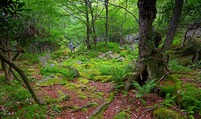
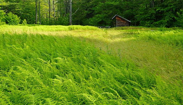
Near the top of the hill I came upon a hiker's shelter at the edge of a lovely fern filled meadow. The gradient undulated down and up, mostly up, for bit, before I began the drop back down to the suspension bridge. Around this time some rain appeared, which meant that I was soon soaked from the waist down, from all the grass and ferns.
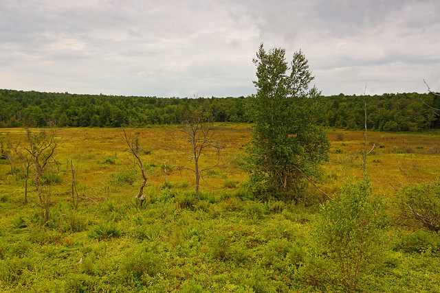
Back of the northern loop, I resumed my counterclockwise travel. About 1.5mi before my car, I left the John P. Saylor Trail for a mile long out-and-back along the Boulder & Bog Trail. My destination was an overlook of an extensive highland bog. After this final bit of sightseeing it was a quick walk back to my car.
Hiking/photography stats: 19.2mi, 1600ft elevation gain, 8.75hrs
I left Pittsburgh around 3:30am and was on the trail, starting from the Babcock Picnic Area trailhead, by 5:45am. The entire trail is pretty flat, with only the occasional gentle climb, so the going was quick. I had begun the northern loop hiking counterclockwise, which meant that the impressive Wolf Rocks were my first port of call. Unfortunately, ugly graffiti covered almost every inch of the outcrop.
Wolf Rocks
A flower and mushroom show in full swing, and interesting little bogs were my entertainment, as I continued on to the suspension bridge over placid Clear Shade Creek. I bounced my way across to connect with the southern loop of the hike. A right turn meant that it was another counterclockwise circuit for me. The first mile was through boggy ground, so the going was a tad slow. A switchback later, the trail took me up along a gentle climb, and I was thankful to leave the wet stuff behind.
Near the top of the hill I came upon a hiker's shelter at the edge of a lovely fern filled meadow. The gradient undulated down and up, mostly up, for bit, before I began the drop back down to the suspension bridge. Around this time some rain appeared, which meant that I was soon soaked from the waist down, from all the grass and ferns.
Back of the northern loop, I resumed my counterclockwise travel. About 1.5mi before my car, I left the John P. Saylor Trail for a mile long out-and-back along the Boulder & Bog Trail. My destination was an overlook of an extensive highland bog. After this final bit of sightseeing it was a quick walk back to my car.
Hiking/photography stats: 19.2mi, 1600ft elevation gain, 8.75hrs