TR -- 190 miles on the AT in Maine and New Hampshire
Sept 29, 2016 17:20:34 GMT -8
toejam, johntpenca, and 1 more like this
Post by daveg on Sept 29, 2016 17:20:34 GMT -8
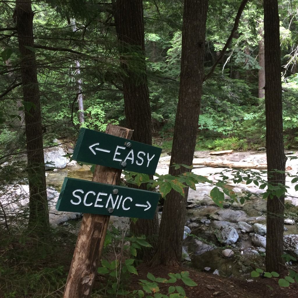
Last month I spent 26 days hiking 190 miles of the AT in southern Maine and northern New Hampshire. It’s a beautiful section of the trail but also some of the most rigorous hiking I have ever done. One up and down after another (a total of 50,000 to 60,000 feet of elevation gain). Some easy stretches of trail but mostly clambering over and around (and occasionally even under) rocks/boulders/slabs and roots. Many of the climbs were grueling (at least for this old guy) and a few of the descents were treacherous (extremely steep and often wet). The weather varied considerably – hot and humid, cool and windy, from drought dry to torrential rain. There were a lot of hikers on the trail, mostly northbound and southbound thru-hikers but a good number of section and day hikers as well. I met and hiked with some great people and, overall, had a grand time.

Day 1. My shuttle dropped me off at the trailhead at Caratunk, Maine at 11:00 a.m. It was a relatively easy four miles to the Pierce Pond Lean-to. Late that afternoon, two moose came out to feed on the other side of the pond.

Day 4. My first 4000 footer. I’m nearing Avery Peak of Bigelow Mountain. This view is looking back (north) from where I came from.

Day 8. I’m over the Horn and headed toward Saddleback Mountain. This was my favorite stretch of trail. It was a gorgeous day and the view was magnificent but it was the rocks and alpine vegetation that really fascinated me. I sauntered along at about a half-mile an hour to prolong the experience.

Heading down the south side of Saddleback Mountain.

Day 10. I arrived at Second Peak of Bemis Mountain as it was starting to get dark and decided to stop and enjoy the sunset. Afterwards, an hour of night hiking got me to the Bemis Mountain Lean-to.

Day 15. Climbing up Baldpate Mountain. It had rained the previous two days. On day 13 I sat out the rain at the Pine Ellis Hostel in Andover, Maine. Day 14 was a short day hiking in the rain. The word was that the south face of Baldpate was steep and going down it was especially treacherous when wet so I wanted to wait until the rain had stopped. Unfortunately, it was still wet and very slick. I ended up “butt hiking” down most of the south face. I did so much “butt hiking” on this trip that I wore a couple of good sized holes in the bottom of my pack.

Day 21. Taking my second zero day in Gorham, New Hampshire. I needed to resupply. I was pretty dinged up and getting fatigued but considered myself fortunate that I had not suffered any serious injury. On Day 15 I was told about a hiker who had torn his rotator cuff while going through the Mahoosuc Notch. The next day, while I was going through the Notch, I met a hiker who had fallen and dislocated his shoulder. On Day 17, I was at the Carlo Col Shelter when four hikers carried in a fifth who had fallen and broken a knee (and maybe his ankle as well).

Day 22. The trail down the north side of Mount Washington. I had been hiking southbound. To take advantage of a weather window to hike the Presidential Range, I got a ride to the summit of Mount Washington and began hiking north. The summit was in the clouds and it was cool and windy.

After descending about 800 feet I got below the cloud cover and could see the Presidential Range in front of me (looking north). The weather continued to clear but it remained windy – sustained winds of 35 mph with gusts to 70 mph. Great scenery but I was so happy when I finally got below treeline eight miles later.

Taking a break. Looking back the way I had come.

A typical up and down – descend to Madison Springs Hut then up and over Mount Madison.
Day 1. My shuttle dropped me off at the trailhead at Caratunk, Maine at 11:00 a.m. It was a relatively easy four miles to the Pierce Pond Lean-to. Late that afternoon, two moose came out to feed on the other side of the pond.
Day 4. My first 4000 footer. I’m nearing Avery Peak of Bigelow Mountain. This view is looking back (north) from where I came from.
Day 8. I’m over the Horn and headed toward Saddleback Mountain. This was my favorite stretch of trail. It was a gorgeous day and the view was magnificent but it was the rocks and alpine vegetation that really fascinated me. I sauntered along at about a half-mile an hour to prolong the experience.
Heading down the south side of Saddleback Mountain.
Day 10. I arrived at Second Peak of Bemis Mountain as it was starting to get dark and decided to stop and enjoy the sunset. Afterwards, an hour of night hiking got me to the Bemis Mountain Lean-to.
Day 15. Climbing up Baldpate Mountain. It had rained the previous two days. On day 13 I sat out the rain at the Pine Ellis Hostel in Andover, Maine. Day 14 was a short day hiking in the rain. The word was that the south face of Baldpate was steep and going down it was especially treacherous when wet so I wanted to wait until the rain had stopped. Unfortunately, it was still wet and very slick. I ended up “butt hiking” down most of the south face. I did so much “butt hiking” on this trip that I wore a couple of good sized holes in the bottom of my pack.
Day 21. Taking my second zero day in Gorham, New Hampshire. I needed to resupply. I was pretty dinged up and getting fatigued but considered myself fortunate that I had not suffered any serious injury. On Day 15 I was told about a hiker who had torn his rotator cuff while going through the Mahoosuc Notch. The next day, while I was going through the Notch, I met a hiker who had fallen and dislocated his shoulder. On Day 17, I was at the Carlo Col Shelter when four hikers carried in a fifth who had fallen and broken a knee (and maybe his ankle as well).
Day 22. The trail down the north side of Mount Washington. I had been hiking southbound. To take advantage of a weather window to hike the Presidential Range, I got a ride to the summit of Mount Washington and began hiking north. The summit was in the clouds and it was cool and windy.
After descending about 800 feet I got below the cloud cover and could see the Presidential Range in front of me (looking north). The weather continued to clear but it remained windy – sustained winds of 35 mph with gusts to 70 mph. Great scenery but I was so happy when I finally got below treeline eight miles later.
Taking a break. Looking back the way I had come.
A typical up and down – descend to Madison Springs Hut then up and over Mount Madison.