|
|
Post by Coolkat on Dec 22, 2015 5:44:19 GMT -8
I'm curious if anyone has done any or all of the Midstate Trail in PA? Do you get a remote wilderness feel or is it always next to a highway? Well marked or need map/compass?
Until I retire I'll probably never have time to do a through hike of the CDT etc.. but I might be able to do one of the state long trails like the Long Trail, Sheltowee, Midstate etc..etc.
|
|
|
|
Post by jmitch on Dec 22, 2015 7:05:50 GMT -8
It is fairly remote in many places. Busy highways are not common along the trail and is actually rare. Of course, the trail does cross roads. It is well marked, although some sections may be brushy. From the MD border to the West Branch Susquehanna River, the MST follow rocky ridgelines where there are lots of views, some streams, and a few old growth areas. Some sections can be dry. It is rocky until you cross the West Branch Susquehanna River. North of the river, the character of the trail changes as it explores high plateaus with deep gorges. Not as rocky, some big climbs. Some great views, waterfalls, old ruins, big rocks, swimming holes, and streams are often seen on this section. There is some road walking as you near the NY border. The trail passes several state parks. It is a beautiful trail that does not get the attention it deserves.
|
|
|
|
Post by Coolkat on Dec 22, 2015 7:25:41 GMT -8
jmitch , thanks for the description that is actually very informative and actually sounds like a really good trail. What about camping? Are there large sections where you have to worry about where you can and can't set up camp for the night? I wonder how many thru hikers it gets per year.
|
|
ki0eh
Trail Wise!
Posts: 47 
|
Post by ki0eh on Jan 21, 2016 18:45:59 GMT -8
There are exactly 7 people (not per year, total since the trail was officially recognized to cross the entire state in 2008) who have been recognized by Mid State Trail Association as end to end completers. www.hike-mst.org/index.php/resources/end-2-end-certificationHere is a blog managed by one of them: www.gethiking.net/search/label/mid%20state%20trailSections are numbered from 1 at the MD line through 20 reaching the NY border. The most difficult area for camping legally is sections 2 through 6 (the sum total of places to stay near the trail is a local motel, a campsite where it is requested campers register with the borough police, an RV campground 700m off trail, and a bed and breakfast in a town the trail passes through). Section 1, and 7 through 18 have much more legal camping areas. Rockiness and water availability limit the number of actual sites, especially on section 7 but to some extent through section 13. There are a few no-camping zones, especially on the longest current roadwalk across West Branch Susquehanna River/US 220 area south of Woolrich. Sections 19 and 20 (north of US 6 to NY border) have only pay to stay camping, albeit more plentiful (a state park, 2 Corps of Engineers parks that are similar although without PA state parks no-alcohol rule, and 1 private campground) than the section 2 through 6 area. Road walking in this northern area has been reduced to relatively short bits at a time with much new off road trail on private land. Much of this is either explicitly closed during the high hunting seasons (Oct-mid Jan) or to be avoided in groups in fear of losing permission. |
|
|
|
Post by Coolkat on Jan 21, 2016 20:06:56 GMT -8
Thanks ki0eh for this info. It's actually detailed and helpful. Now to actually convince my wife to let me use all my vacation time to do this. LOL |
|
talus
Trail Wise!
Posts: 560
|
Post by talus on Feb 2, 2016 10:37:05 GMT -8
I was wondering about this trail vs. the Standing Stone Trail. It looks like (from a quick look at overview maps) that legal camping is easier on the Standing Stone than the Mid-State in the southern sections. The Standing Stone looks doable in about 5 days for me-perfect for a weeks vacation. |
|
ki0eh
Trail Wise!
Posts: 47
|
Post by ki0eh on Feb 19, 2016 20:25:08 GMT -8
There are indeed a couple of strategic bits of State Forest along SST south of US 22 - Butler Knob including the new shelter, and just south of Meadow Gap where a former Glatfelter property wound up SF rather than in adjacent SGL 81, that relieve the legal camping situation a bit more than on MST.
Legal camping is adequate for most folks on MST from US 22 north to US 6. South of US 22 (except for Section 1 by the border, which is mostly SF) is hindered by SGL rules and lack of other campgrounds (although Tenley Park in Everett, and a pay to stay campground in Loysburg Gap help a bit). North of US 6 to and into NY State there are 5 on-trail pay to stay campgrounds to tide you over to the first lean-to on Crystal Hills Trail.
|
|
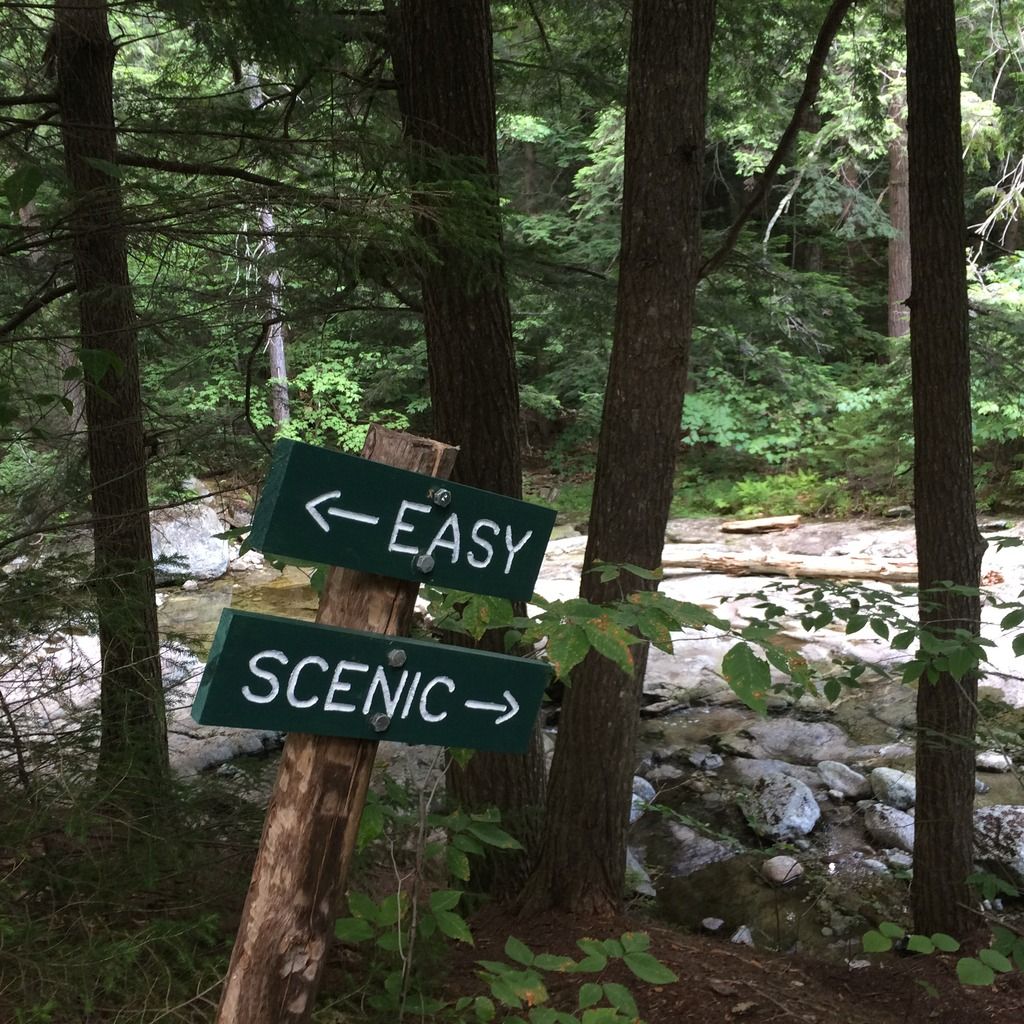
 Image Credit / Coolkat