

Post by GaliWalker on Jul 4, 2015 7:52:09 GMT -8
A fun little hike, full of lovely, interesting views, and surprisingly lonesome. To date, I'd hiked extensively in West Virginia's Monongahela National Forest, and a little bit in George Washington National Forest (which straddles West Virginia and Virginia). I'd never been to Lost River State Park, which nestles between the two National Forests. I was able to rectify this yesterday, on the eve of Independence Day.
I had settled on a ramble along Big Ridge, in the park, for my hike. Thanks to a 2:15am start from the house, I was able to reach Lost River State Park by 6:15am, but due to some confusion on my part it took a further 30min to find the start of the Howard Lick trailhead.
As I finally began the hike proper, I found the trail surface to be surprisingly good, though somewhat muddy initially, so I was able to set a fast 3mph pace. I kept this up as I took a right on a service road and then another right on the White Oak Trail. This took me up through a beautiful forest to a fine viewpoint a bit shy of Big Ridge's crest.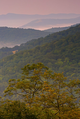
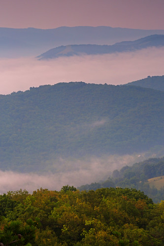
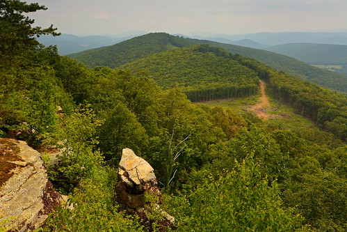
15min later, having got a taste of the good stuff, I motored uphill to intersect the Millers Rock Trail, which took me to Cranny Crow, the best viewpoint of the day. Even though morning had been underway for a while, the sun had just crested the mountains, so the light was nicely soft and still a bit pink. I think I burned about 45min at the viewpoint, basking in the sweeping views.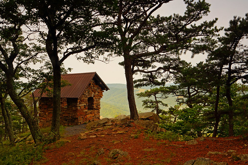
Cranny Crow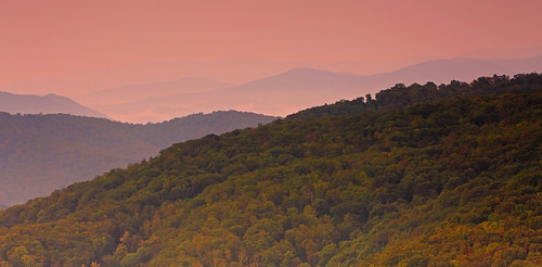
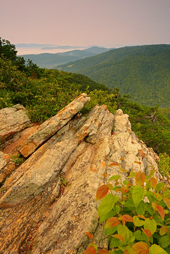
Rock Art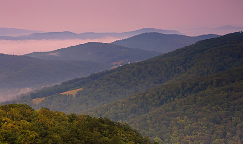
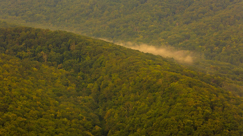
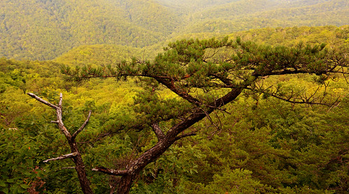
From Cranny Crow, I dropped down for a touch, past Cheeks Rock and other fine vistas, through a scented pine and spruce forest. It was a sensory feast, and slow going due to a whole lot of shutter delay.
A left turn on the Virginia View Trail connected me with the Big Ridge Trail, on which I took an additional left. A few steps later I was at the Big Meadow on the ridgecrest. This was a large expanse, with a shelter and even some picnic tables, which I could have done without. A more interesting feature was an 1840s era homestead, the Mountain Farms Cabin.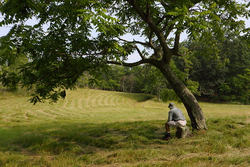
GaliWalker at Big Meadow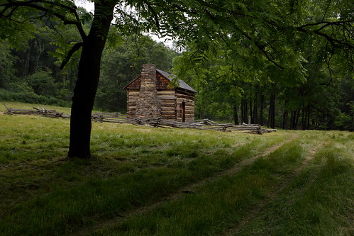
At Big Meadow, I rejoined the Millers Rock Trail, to head north along the ridge crest. For a while I felt like Cinderella, as two birds flew three circles around me, at a distance of 5ft. Butterflies and the occasional flower patch added to the fairytale feel. 3mi later I was at my turnaround point, a final set of views to the west, north, east and southeast.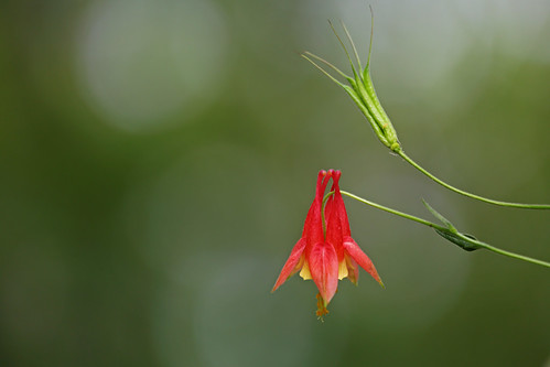
Columbine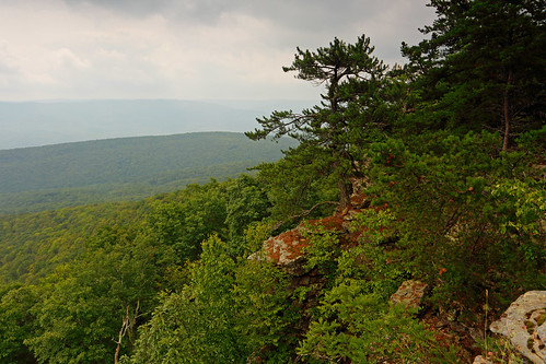
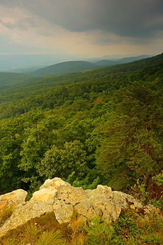
Approaching storm
By now I'd spent over 2hrs in picture taking, so I put the camera away for the hike back. Even though it was the Independence Day long weekend, amazingly I saw no one else on the entire hike!
Hiking/photography stats: 11.1mi, 2150ft gain, 6.5hrs


