|
|
Post by Coolkat on Mar 8, 2017 20:25:02 GMT -8
I apologize up front if this is too long. I tried not to ramble too much or include details that no one would care about. I honestly don't mind a little constructive criticism, just don't get too mean. LOL This the route that we took….West Pinto Trail (212) to Campaign Creek Trail (256) to Fireline Trail (118) to Reavis Valley Trail (109) to Frog Tanks Trail (112) to Rogers Canyon Trail (110) to Reavis Valley Trail (109) back to West Pinto Trail (212) back to Miles Trail Head 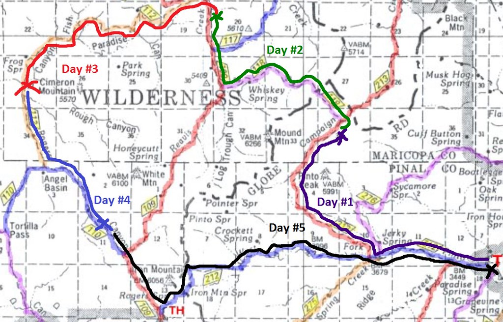 Day 1 Day 1Just getting to the trail head was a trip in itself. I think it was almost 18 miles off the paved road to the trail head. 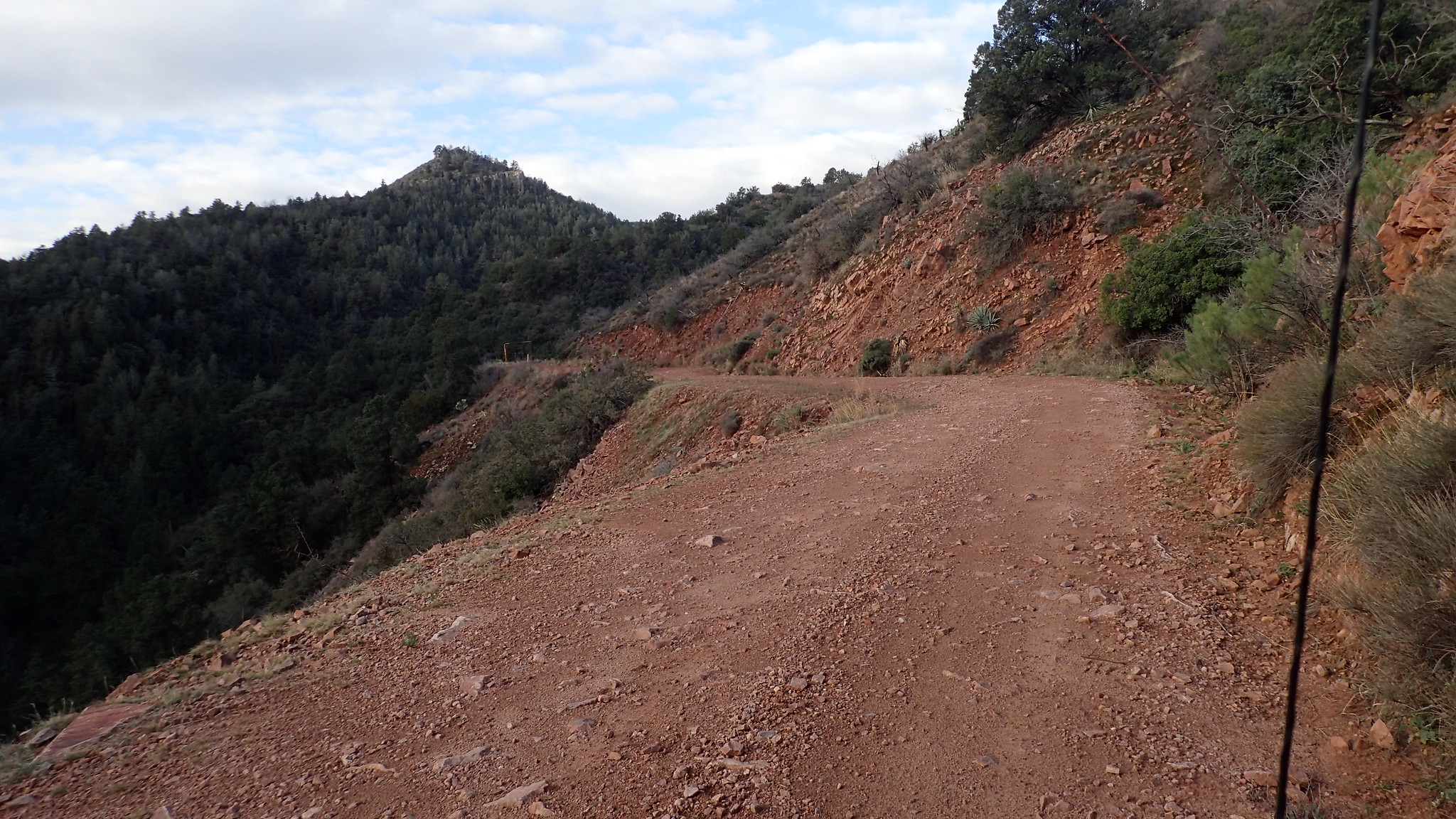 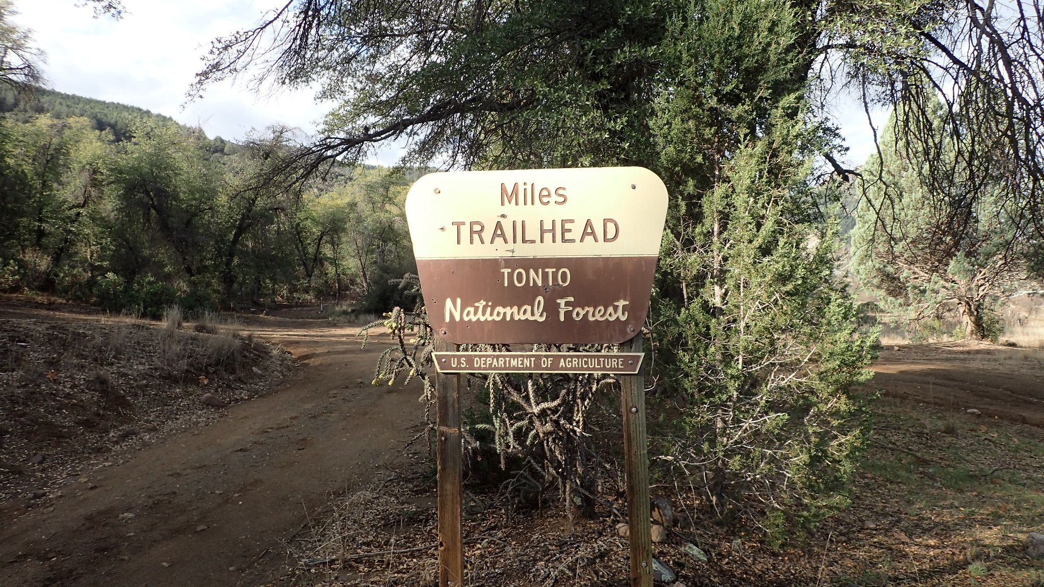 Taking off from Miles Trail Head we headed west down the West Pinto Trail. It was new experience for me to do all the boulder hopping and searching for cairns instead of blazes on trees but I found it exciting and fun. Once we turned onto the Campaign Creek Trail my hiking partner who has done all of this before said it was all up from here. Indeed it was. My lazy winterized flatlander legs were not use to these kinds of climbs. The map showed that we had to cross a fence/gate at the top and I was relieved when we got there. However, this fence turned out to be decoy. We descended a little but started going up again, and up and up. Then at the top we got to the real fence and gate. 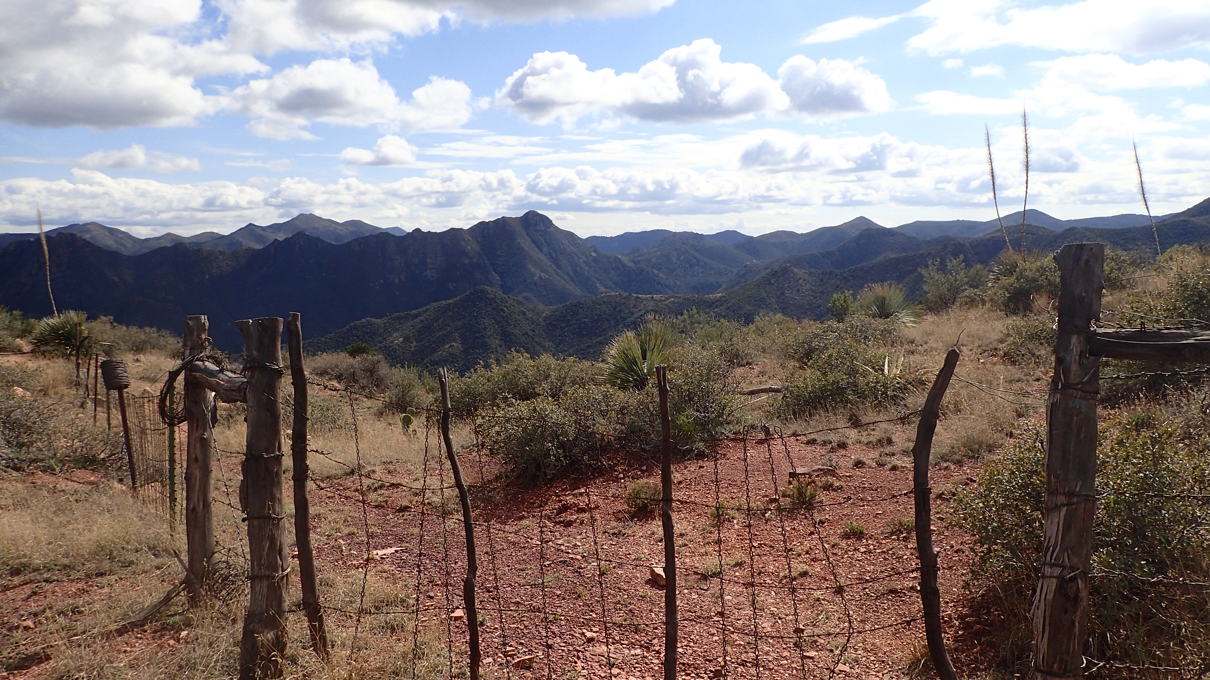 From there we hiked down to near the intersection with the Fireline trail where we setup camp for the night. Oh and I almost forgot that per the pictures below you can see I was introduced to something called “cat’s claw” Then some light rain sent us to our tents early that evening. 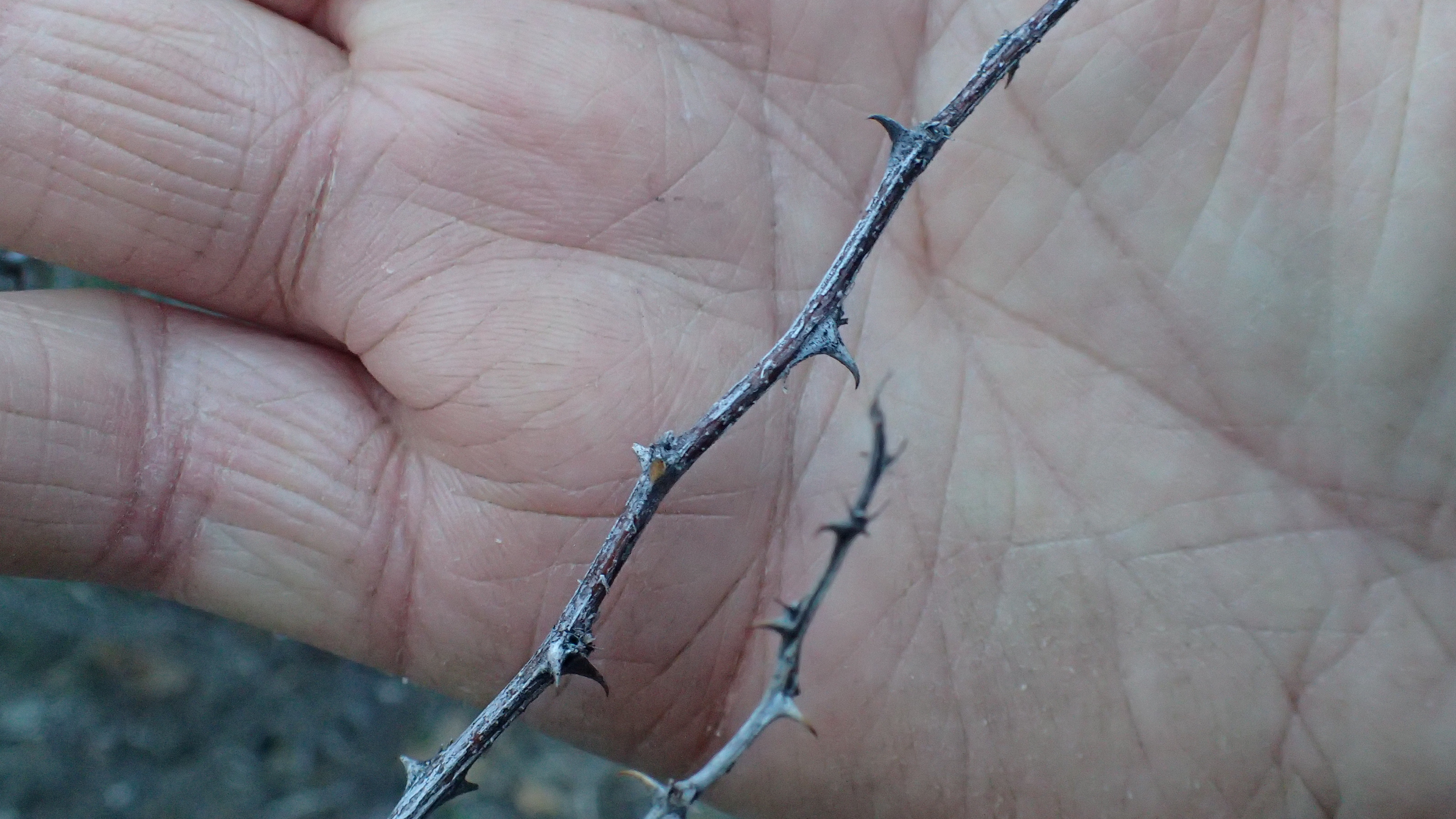 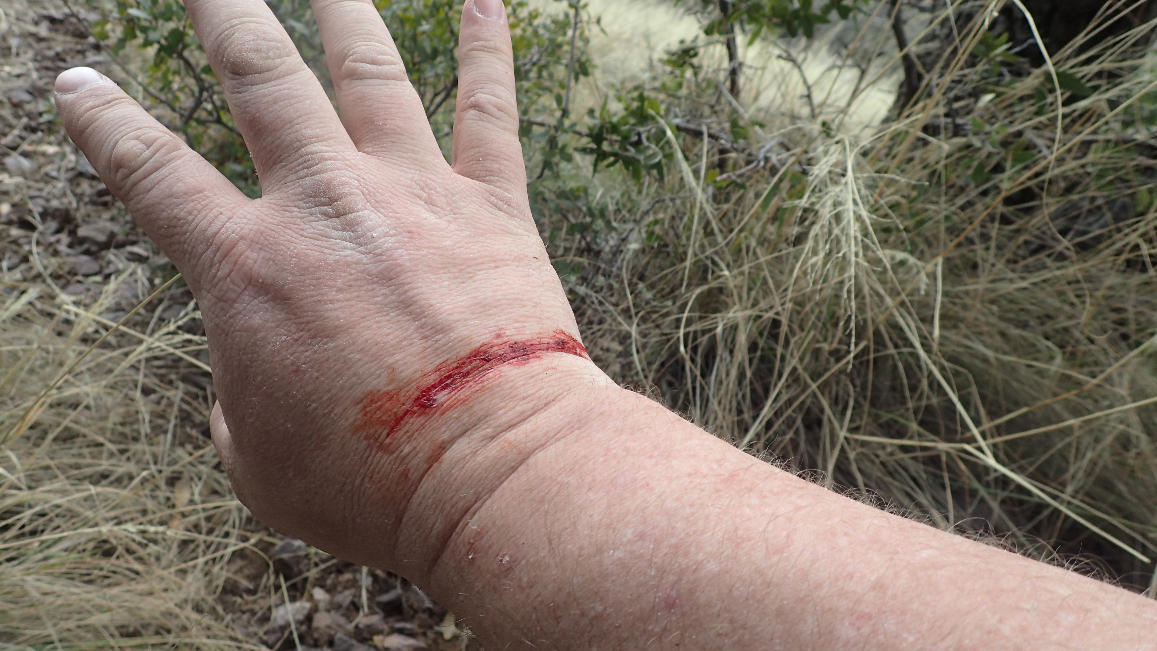 Day 2 Day 2In the morning we took off up the Fireline Trail towards our goal of camping at Reavis Ranch past an old spring that was no longer active. However, part way up the slog of a hill when my hiking partner’s main shoulder strap that attaches to the hip belt busted. He had needle and thread for such occasions but was able to make things work by tying straps to each other. On we went until we stopped for lunch. Here also was the trail that we took up to the Circlestone Ruins. Here I could imagine a whole other culture teaming with activity but also thinking that these Indians were crazy for building a structure so far from water. 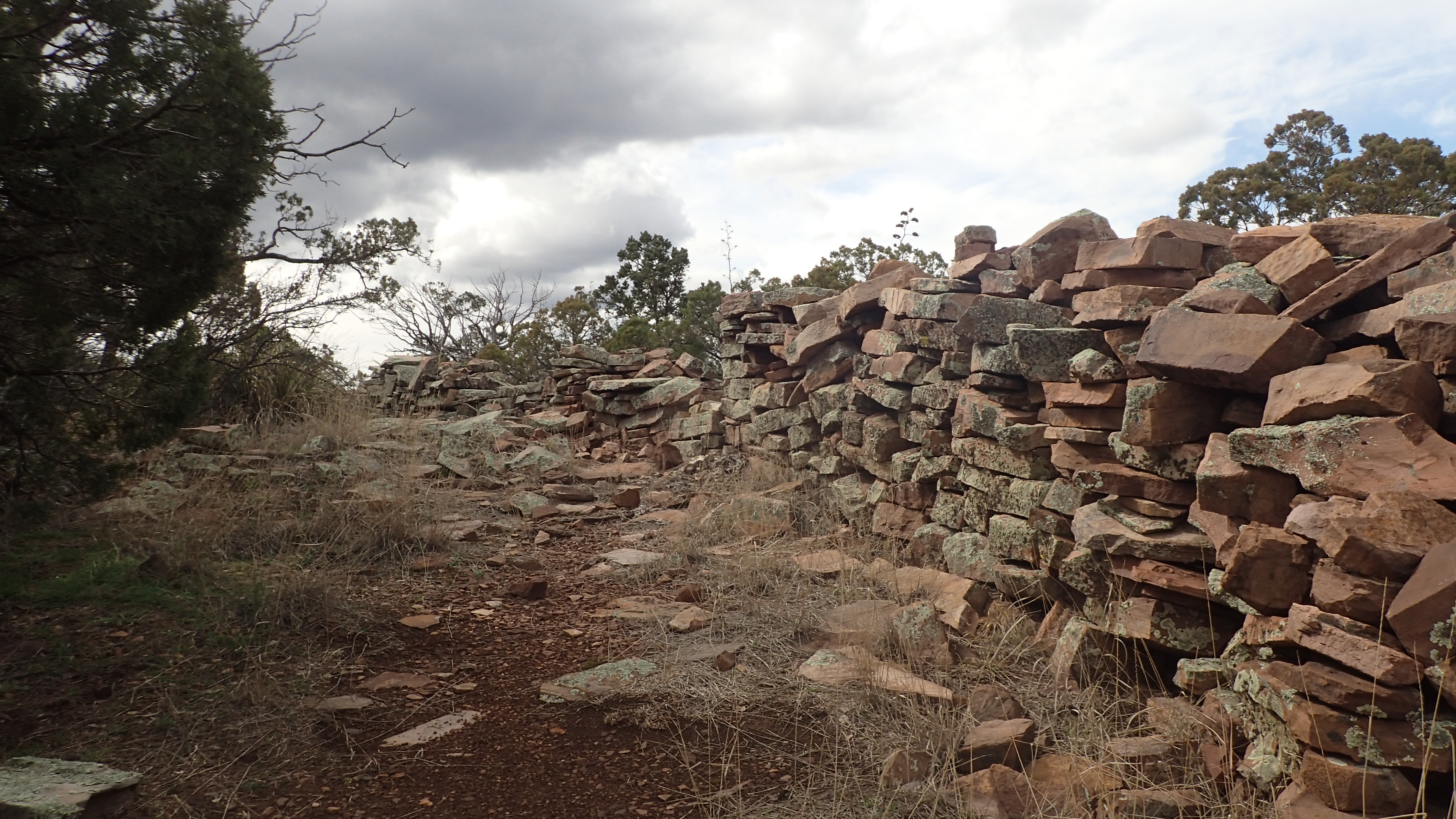 From there it was a nice long leisurely descent into Reavis Valley where we stopped to get some water from the creek. Another quarter mile up the trail we made camp where hiking partner found out that one of his Sawyer water bags sprung a leak so he had to hang up a lot of his stuff to dry. This in turn made me feel better that I put my sleeping bag also in dry bag. I’m just paranoid about my sleeping bag that way. 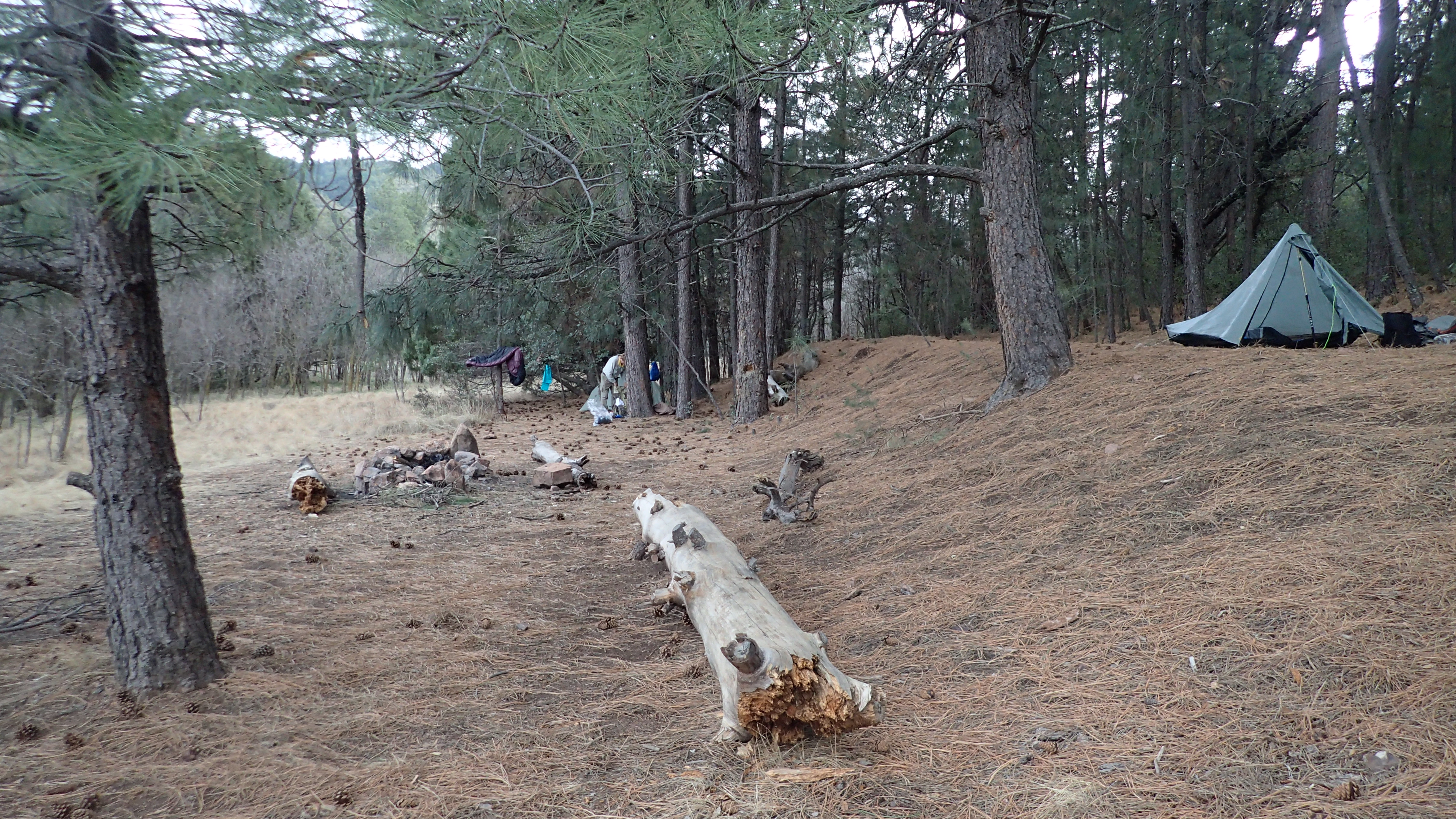 That evening as we set up camp and started to eat it started to drizzle again. This prompted my friend to comment that he isn’t sure what’s going on because he has been out here numerous times in the Superstitions and it has never rained and now on this hike it has rained two evenings in a row. However because of this rain we were treated to one of the best rainbows I’ve ever witnessed. 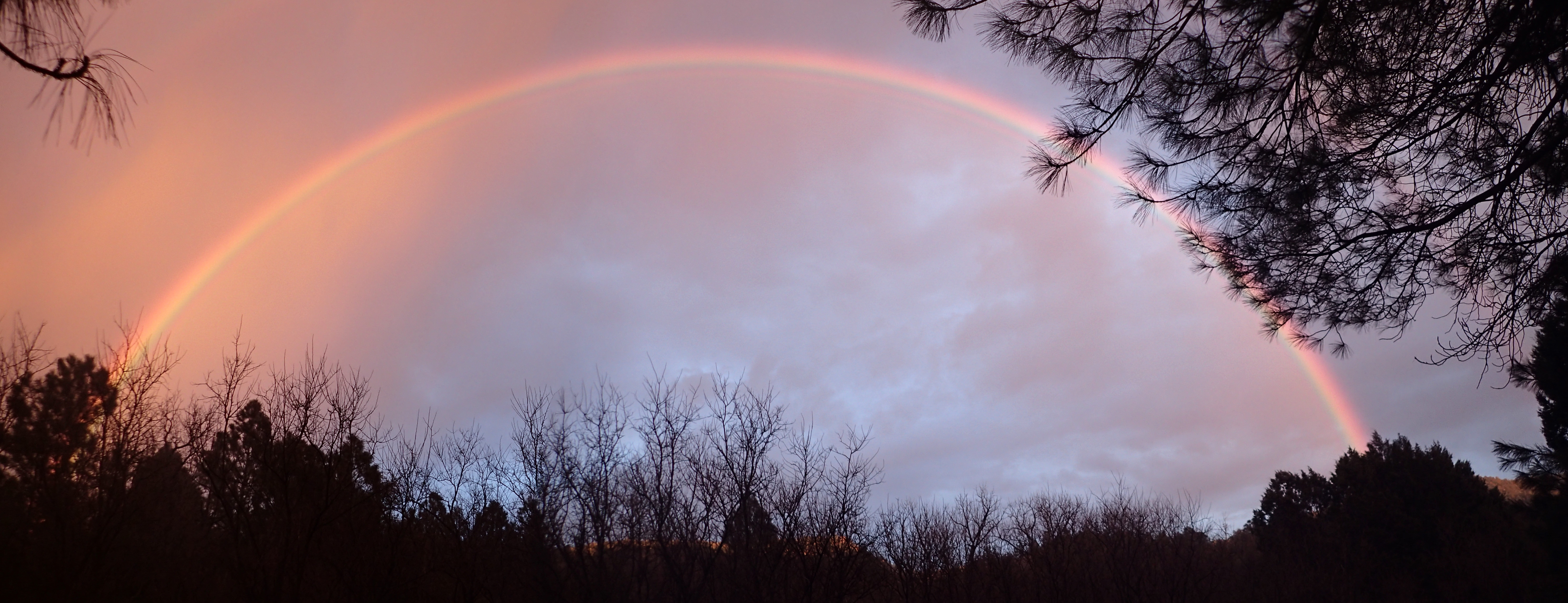 |
|
|
|
Post by Coolkat on Mar 8, 2017 20:33:01 GMT -8
Day 3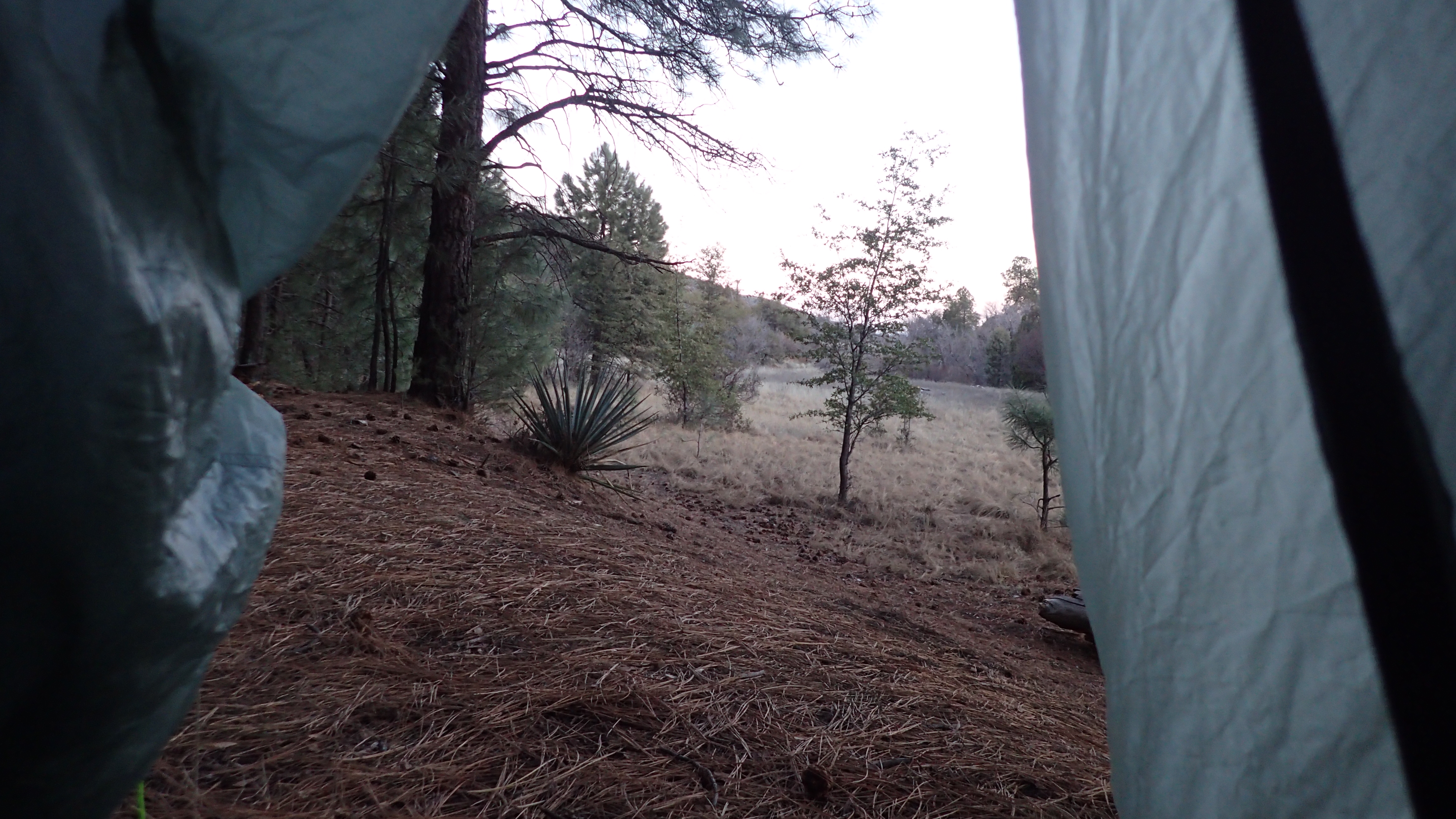 Upon waking in the morning I had to go get some water where I promptly slipped on a rock and almost fell into the creek, however, as it turned out I only got one foot. This incited a laugh out of my friend who said he never saw anyone bounce off water that fast before. We hiked out of Reavis Valley and turned onto Frog Tanks Trail and this turned into one of the best days of hiking for me because as we got to the top of the slight much bigger vistas opened up. I realize that there are probably better and bigger vistas to see in the Rockies but as my first hike west of the Mississippi I was thoroughly impressed with the rugged beauty of the Superstitions. 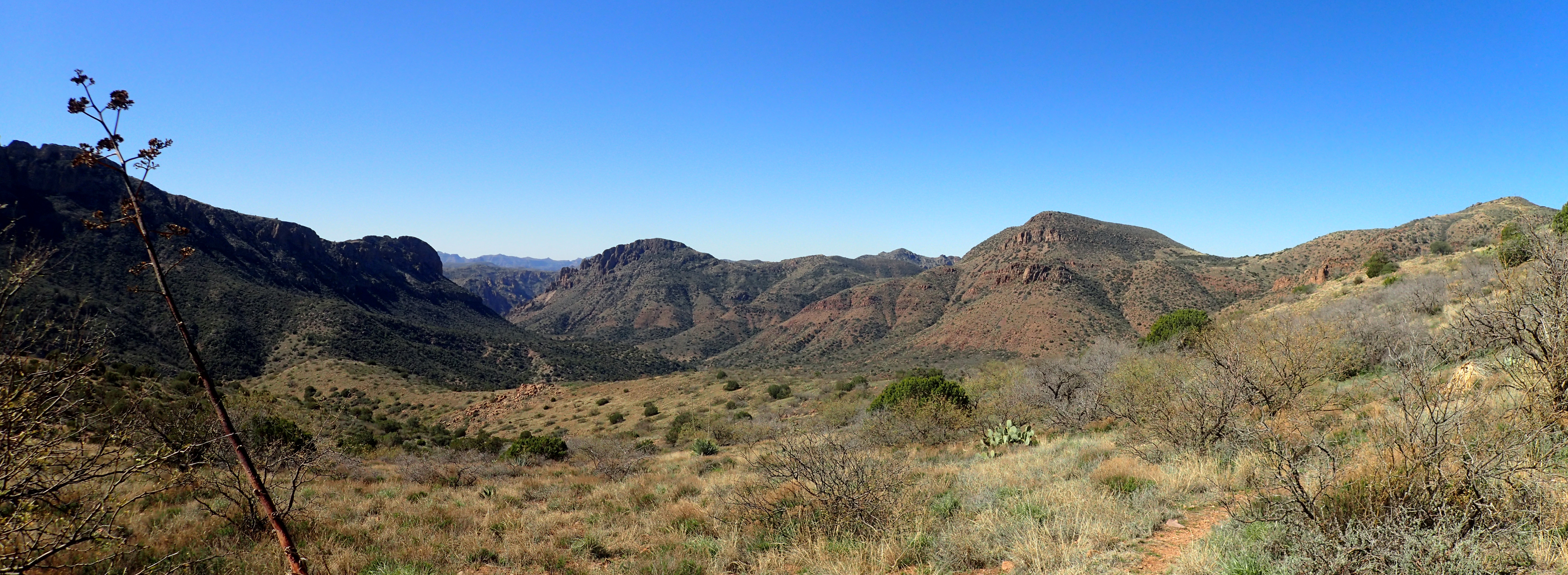 This was also the day that I learned to keep an open for Prickly Pear Cactus near the trail. In the evening we set up camp across the creek and in the shadow of the peak of the Upside-down Boot mountain. 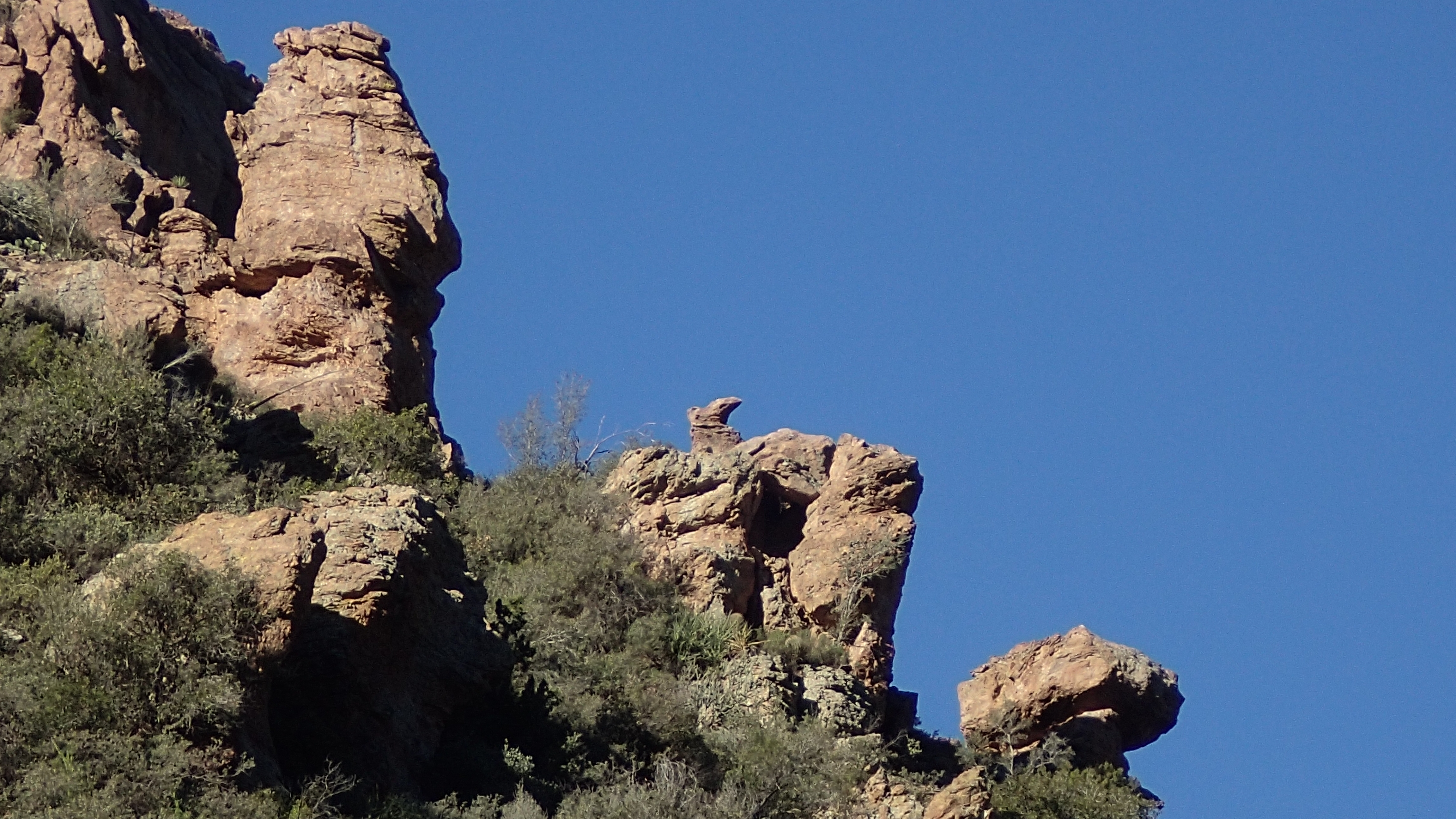 Day 4 Day 4On day 4 we finished up Frog Tanks Trail and hiked through Angel’s Landing and took Roger’s Canyon Trail where we took a few minutes to scramble up to the ruins of the cliff dwellings of the Salado Indians. It was short day as we set up camp early. Which was totally fine with me as my flatlander legs and knees were complaining a little. 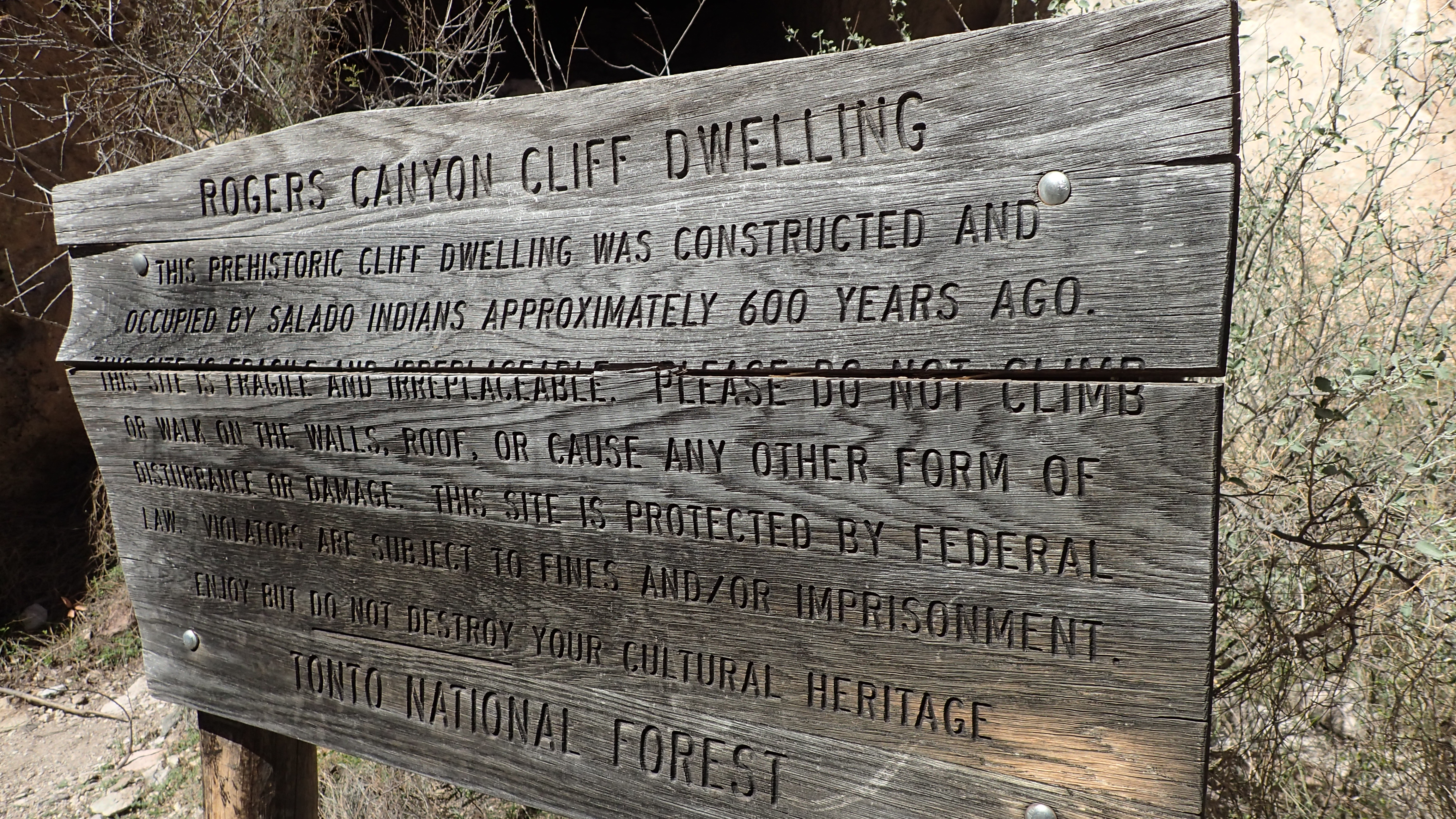 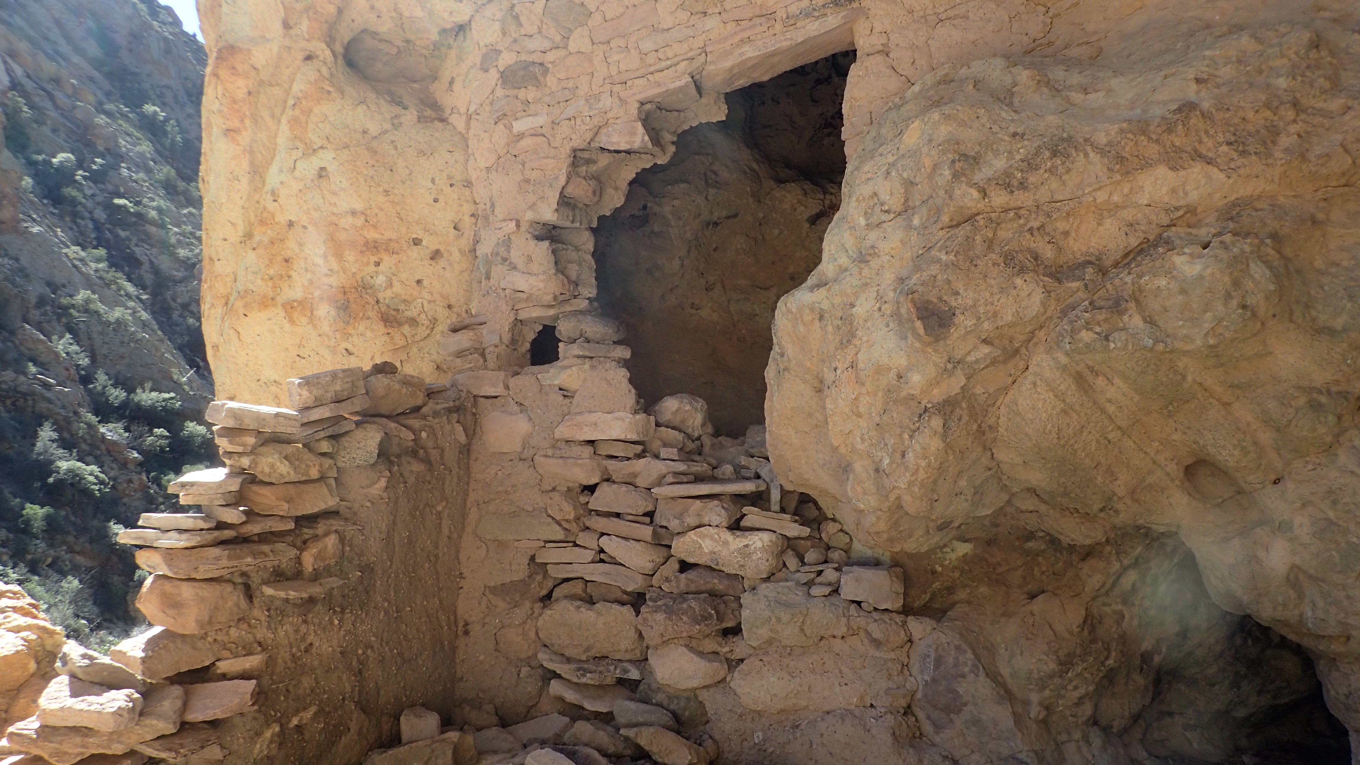
|
|
|
|
Post by Coolkat on Mar 8, 2017 20:43:11 GMT -8
Day 5Day 5 it was a bit longer as we continued down Rogers Canyon Trail to Reavis Valley Trail and finally turned onto the west end of the West Pinto Trail and all the way back to the Miles Trailhead. Once we turned got onto West Pinto Trail and turned up and east towards Iron Mountain we stopped at Roger’s Trough where I was told that there is always water. However, when we got there Rogers Trough was completely dry. Luckily there had been lots rain and there was a small creek running just back down the trail a hundred yards or so. 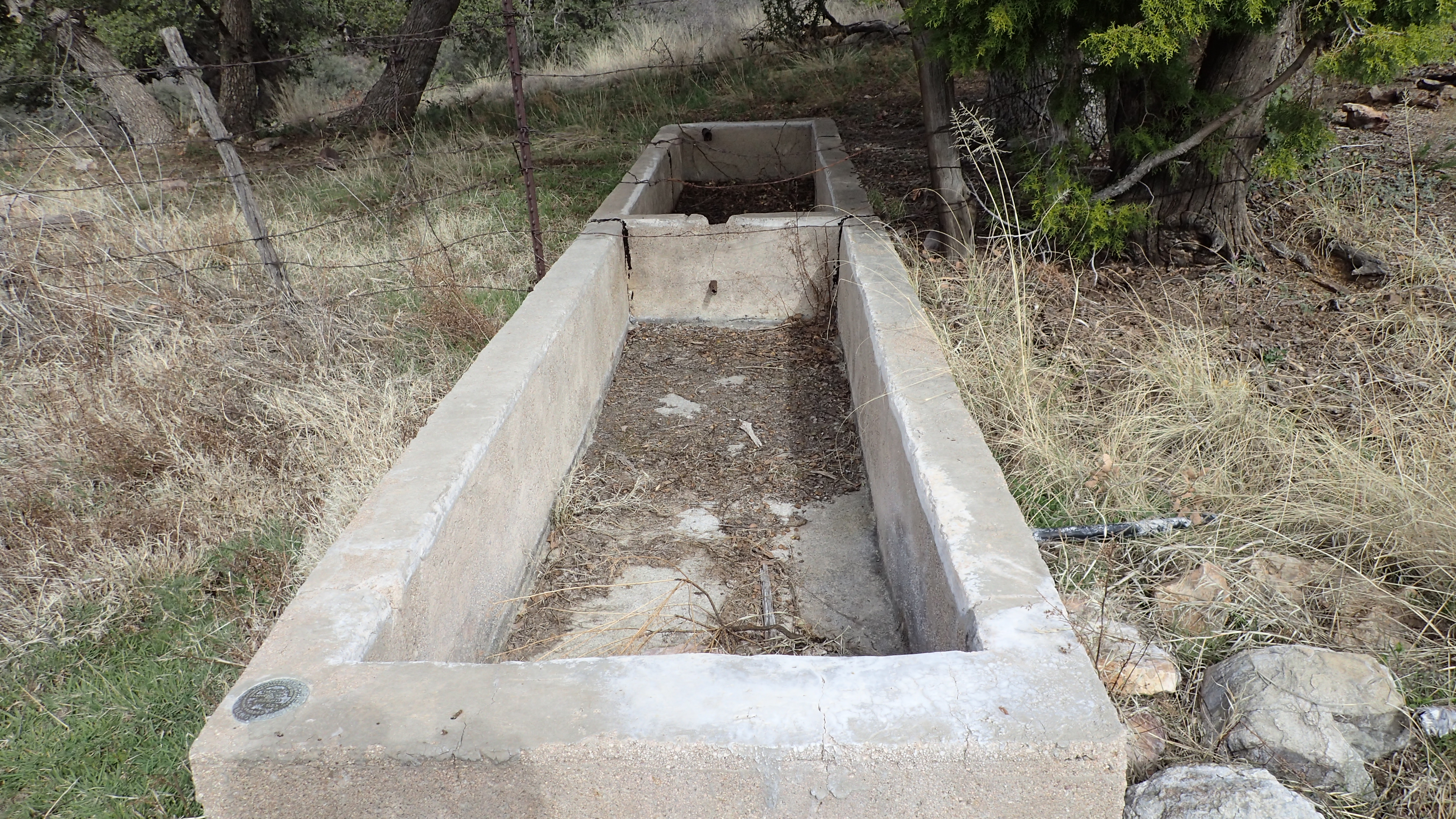 We filled up on water and headed up towards Iron Mountain and soon we soon discovered why Rogers Trough was dry. The pipe that supplied it was broken. 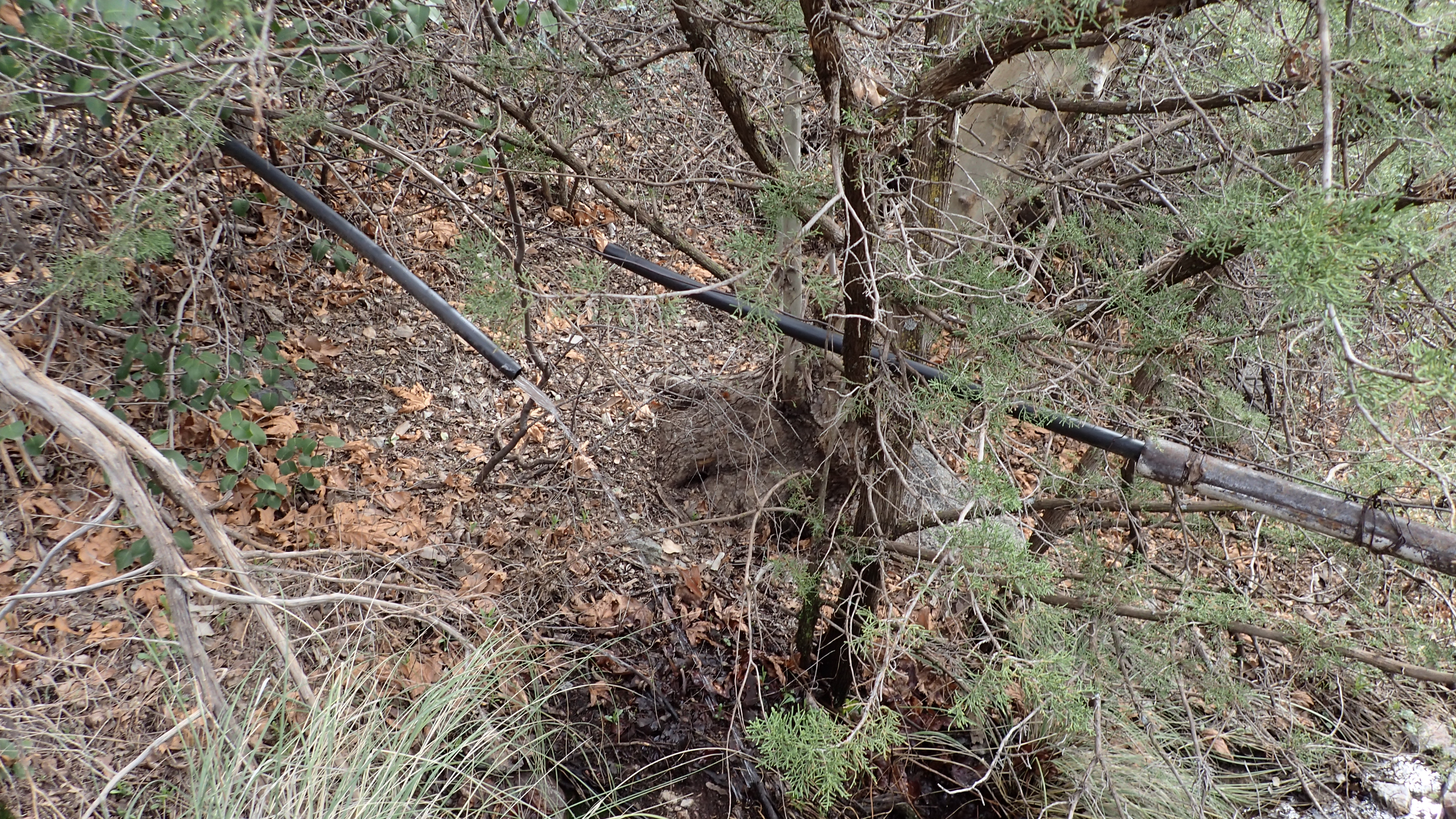 Then just a little further up the trail we came into a situation where I had to depend on my partner’s route finding skills. There had been some kind of huge washout that completely obliterated the trail, uprooted a gigantic tree, and exposed some kind of old mine shaft (I think). In scrambling around this we started towards where we thought the trail would go. Then looking at my partner’s gps he discovered that the trail really wasn’t that far away but the terrain made it a bit of a challenge getting to it. Back on the trail again it was a nice gradual uphill climb to Iron Mountain where we took a break and soaked in the scenery. 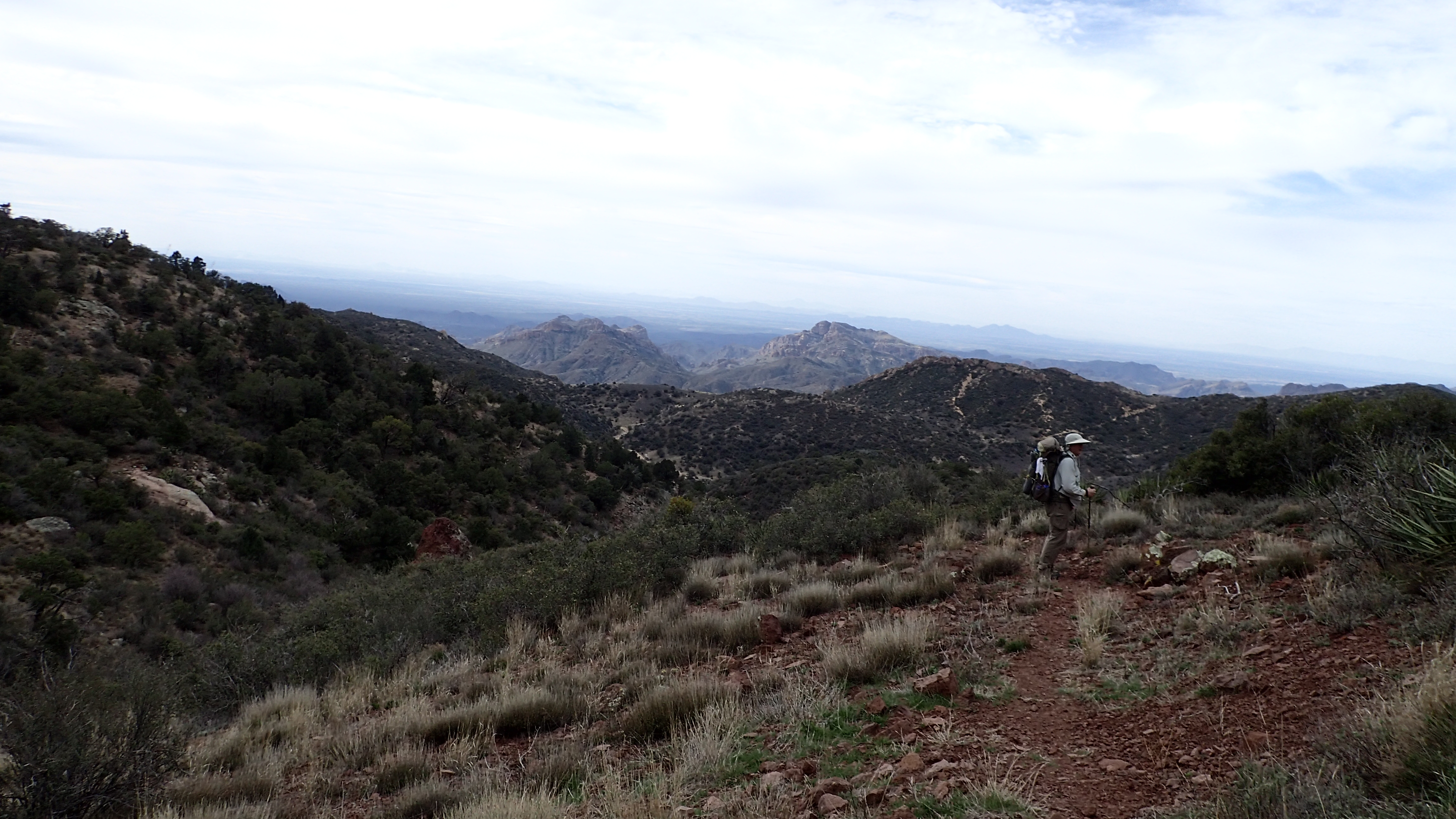 From there it was long steep decent where I was glad that I had brought my knee brace. It was one the more varied sections of trail on this whole hike. Up out of a canyon by Iron Mountain and then down through a tunnel of Manzanita and then on a trail just barely cutting into the side of the mountain hundreds of feet above canyon with gorgeous views of the valleys filled with Sycamore trees and then some more boulder hopping down by the creek. 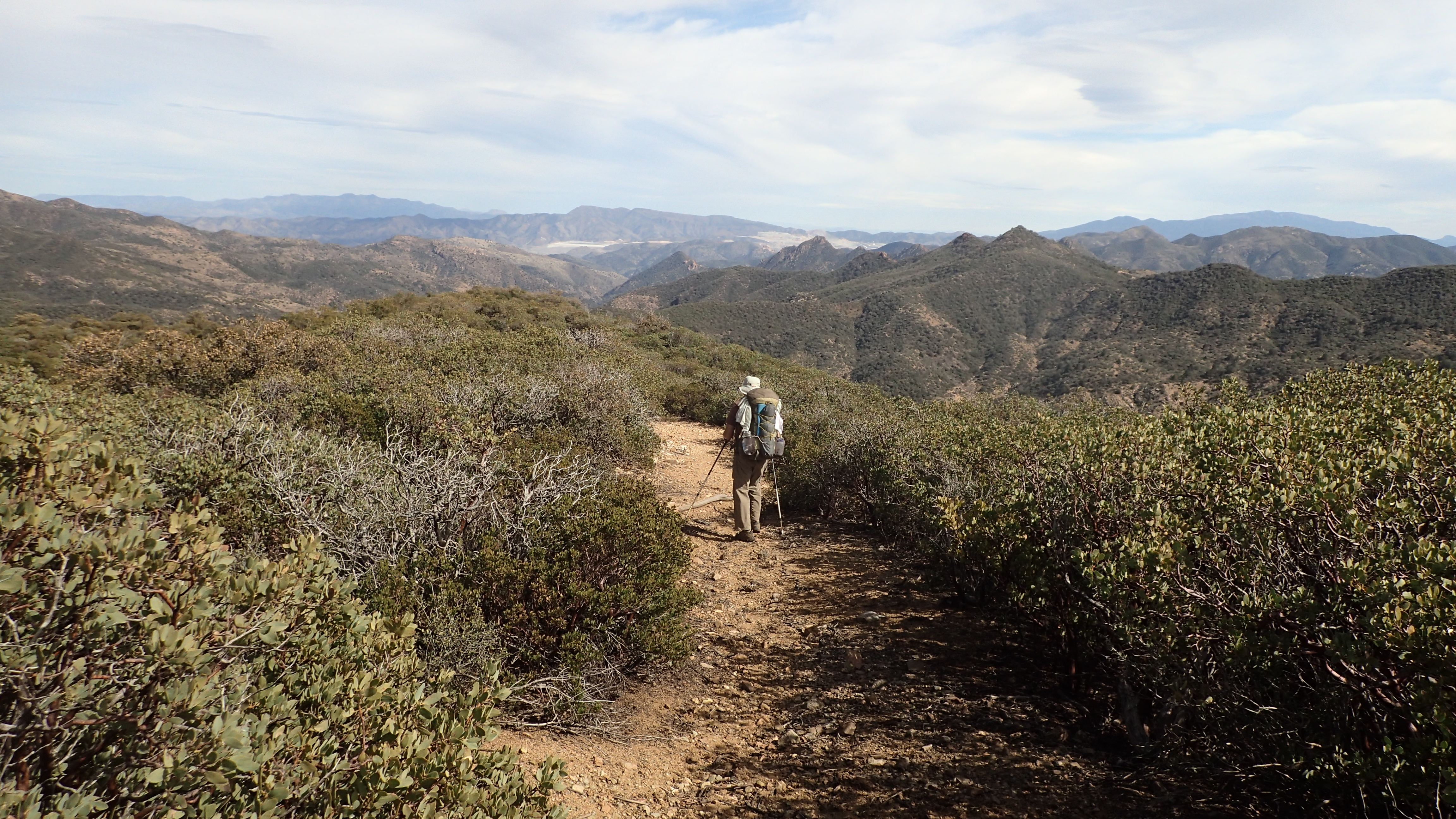 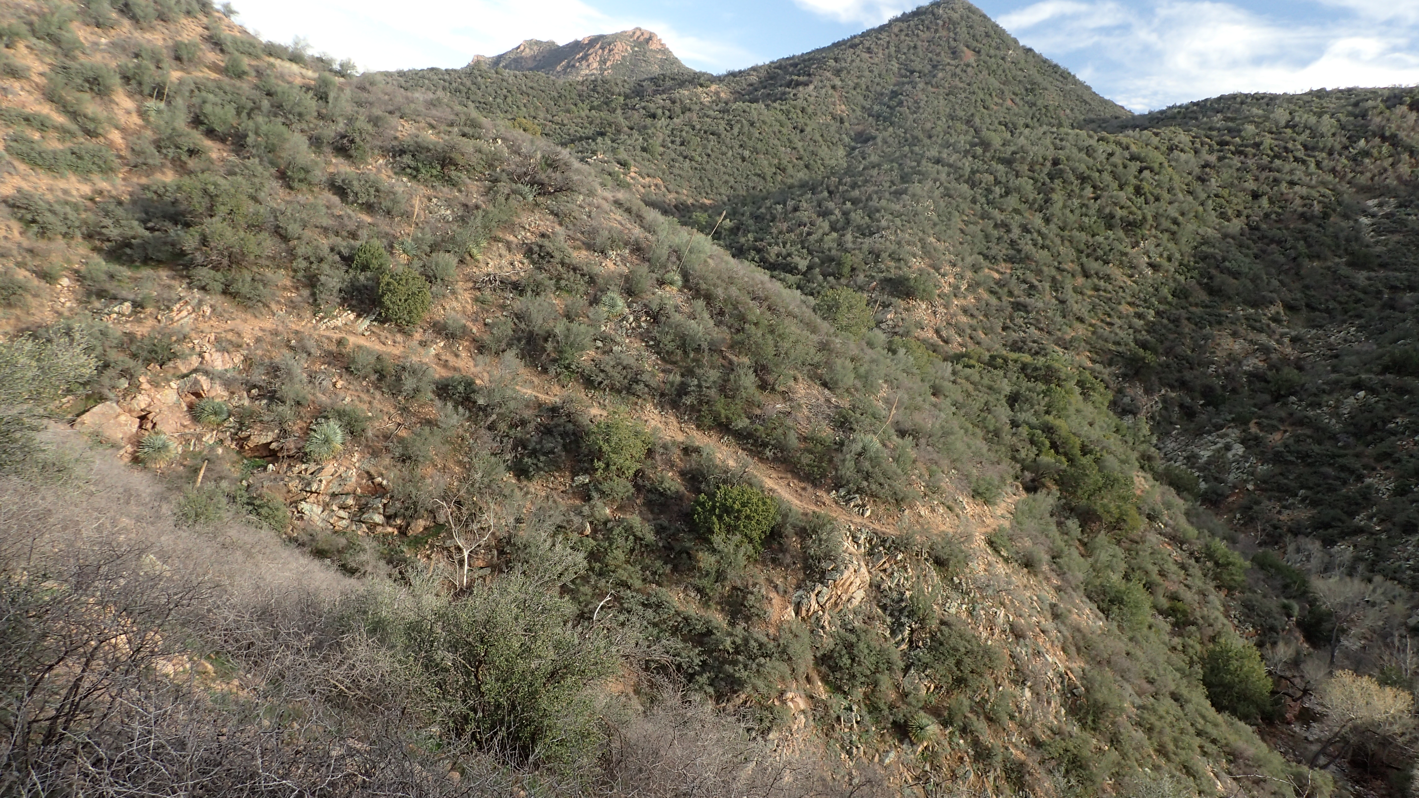 All in all one of the best hikes I’ve ever done. If for some strange reason you wish to see all the pictures I posted to Flickr you can find them here... 2017 Superstition Hike
|
|
|
|
Post by rwtb123 on Mar 9, 2017 1:10:33 GMT -8
or include details that no one would care about Well done.I have just glanced at the pictures so far but now have a good idea of what the place is like.And if I want to do that trip it looks like you have included most everything I would need to get started. That is my idea of a good trip report which I might add I am seeing fewer and fewer of these days as people seem to be trying more to entertain rather than inform. |
|
|
|
Post by Coolkat on Mar 9, 2017 5:12:22 GMT -8
Thanks! it was a new experience for me. Especially hiking along the creeks in the canyons. The cairns were often spaced a long ways apart and if I had been by myself I often would have been wondering if I was really on the trail. It is a rugged place. I consider myself a "somewhat" experienced backpacker and I came to the conclusion that it is no place for a newbie to do their first solo hike. Especially as the trail disappeared a couple of times. Also some of the paths along on sketchy spots were also strewn with loose rock. Apparently some of these trails aren't used that often since in some parts the bushes and cat's claw had grown over the trail and the chances of someone coming along seemed to me to be not likely. But that it is just my observation from my first time in the Superstitions. Those familiar with the place may have a different opinion. |
|
|
|
Post by stevet on Mar 26, 2017 17:09:16 GMT -8
Nice hike, brings back some great memories. I lived in AZ for 30 years (now in upstate NY) and Superstition hiking was different from anything I'd ever done before. They are part of me now.
My friend Tim and I had many an adventure, one that included Circlestone Ruin and Reavis Ranch. We watched the sun set from the ruin and hiked back to Reavis by moonlight.
Your route was through one of the more remote areas of the Sups and it is fairly typical to encounter sections of trail that are overgrown and/or eroded. All part of the adventure. The trail/trailheads closer to Phoenix (Peralta and First Water) get significantly more traffic. Personally I like the more hardscrabble areas and solitude.
And yes your introduction to cat claw; and your first "AZ Pinstripe".
|
|
|
|
Post by Coolkat on Mar 27, 2017 5:43:31 GMT -8
And yes your introduction to cat claw; and your first "AZ Pinstripe". If that is all it did, it wouldn't be much worse than the briars back home but this stuff grabs your pack or your clothes at the most inappropriate times.. Like crossing a creek and tries to throw in the water or on descents when it grabs your pack and tries to toss you down the mountain. Your route was through one of the more remote areas of the Sups and it is fairly typical to encounter sections of trail that are overgrown and/or eroded. All part of the adventure. Which is why I'm sure that my hiking partner choose that area. We didn't expect to see anyone until we got near the cliff dwellings. However, we did run into a solo hiker on Frogs Tank going the opposite way. I would not want to do that trail that way. Actually, I'm glad we did this hike in the direction we did it. Otherwise that hike up to Iron Mountain would have been a killer for me. |
|
rebeccad
Trail Wise!
Writing like a maniac
Posts: 12,667 
|
Post by rebeccad on Mar 28, 2017 19:51:56 GMT -8
I've never hiked the Superstition mountains, at least not in any significant amount. But there is something about that area...
And yeah, catclaw can be nasty. I was wearing a brand new shirt on a hike last week and kept having to carefully back out and unhook from the stuff. Didn't want to shred a new shirt!
|
|
|
|
Post by VegasVic on Mar 29, 2017 16:13:08 GMT -8
Great story, pictures, and thanks for sharing.
I was just there, (also my first time), during the first week of March. You too? I know it had rained hard the night before I got there. Lots of water flowing at numerous spots especially at LaBarge.
I did a overnight just west of you beginning at the Peralta trailhead. Fantastic views and I look forward to going back in the fall or spring.
|
|
|
|
Post by Coolkat on Mar 29, 2017 17:43:35 GMT -8
I look forward to going back in the fall or spring. Well, count me as jealous then. Not sure when I'll get back there. Peralta? Yes, you were on the opposite side of the Superstitions. And I can confirm that water was not a problem. I was told that I had chose a good year to visit and hike. |
|
|
|
Post by Campfires&Concierges on Mar 30, 2017 6:23:21 GMT -8
Nice pictures and report! I'm planning on spending a good chunk of time in Arizona next fall or winter, and am so looking forward to the hiking!
|
|
|
|
Post by Coolkat on Mar 30, 2017 7:10:35 GMT -8
Campfires&Concierges, you will enjoy it. The Superstitions are rugged but beautiful at the same time.
|
|
|
|
Post by Coolkat on Feb 21, 2023 12:21:02 GMT -8
Not sure when I'll get back there. Well at the last minute I booked a flight and will be a doing a relaxed 7 day hike on the western side this time. Looking forward to it. I've been told that the Phoenix area has had some rain recently so I'm hoping that the flowers will be out. |
|
|
|
Post by trinity on Feb 23, 2023 16:25:50 GMT -8
Excellent! Looking forward to a TR.
|
|
|
|
Post by oldbill on Feb 25, 2023 7:26:49 GMT -8
Finally saw this great TR. Need to add this to the bucket list. Headed to Joshua Tree in 2 weeks. Much colder than normal and getting slammed with a big storm this weekend. Canceled a side trip to Idyllwild. Looks like some of that moisture is making it's way to AZ. Hope you get a spectacular flower display and watch out for the thorns!
|
|


